Why S2DSR
Free imagery is everywhere. Fine detail isn’t.
Sentinel-2 images Earth’s land surface every few days, free of charge, but at 10 m a family house covers a pixel or two. Aerial imagery shows far more, yet it is costly and acquired only every few years. S2DSR brings the free imagery closer to aerial detail.
Sixteen pixels for every one
Each 10 m pixel becomes sixteen at 2.5 m, so field boundaries, roads, rivers and built-up areas that blur together come apart.
Learned from aerial imagery
The models learn from Sentinel-2 images paired with Swiss aerial imagery of the same ground, so the detail they add is grounded in what is really there.
Measured, not claimed
Every area you can open is held-out test data, scored against an aerial image of the same ground, with plain enlargement shown beside it for comparison.
Runs in your browser
Run the models yourself, right in the viewer, on your own device. It reproduces the published result, and no image is uploaded.
How it works
From 10 m to 2.5 m, checked against reality.
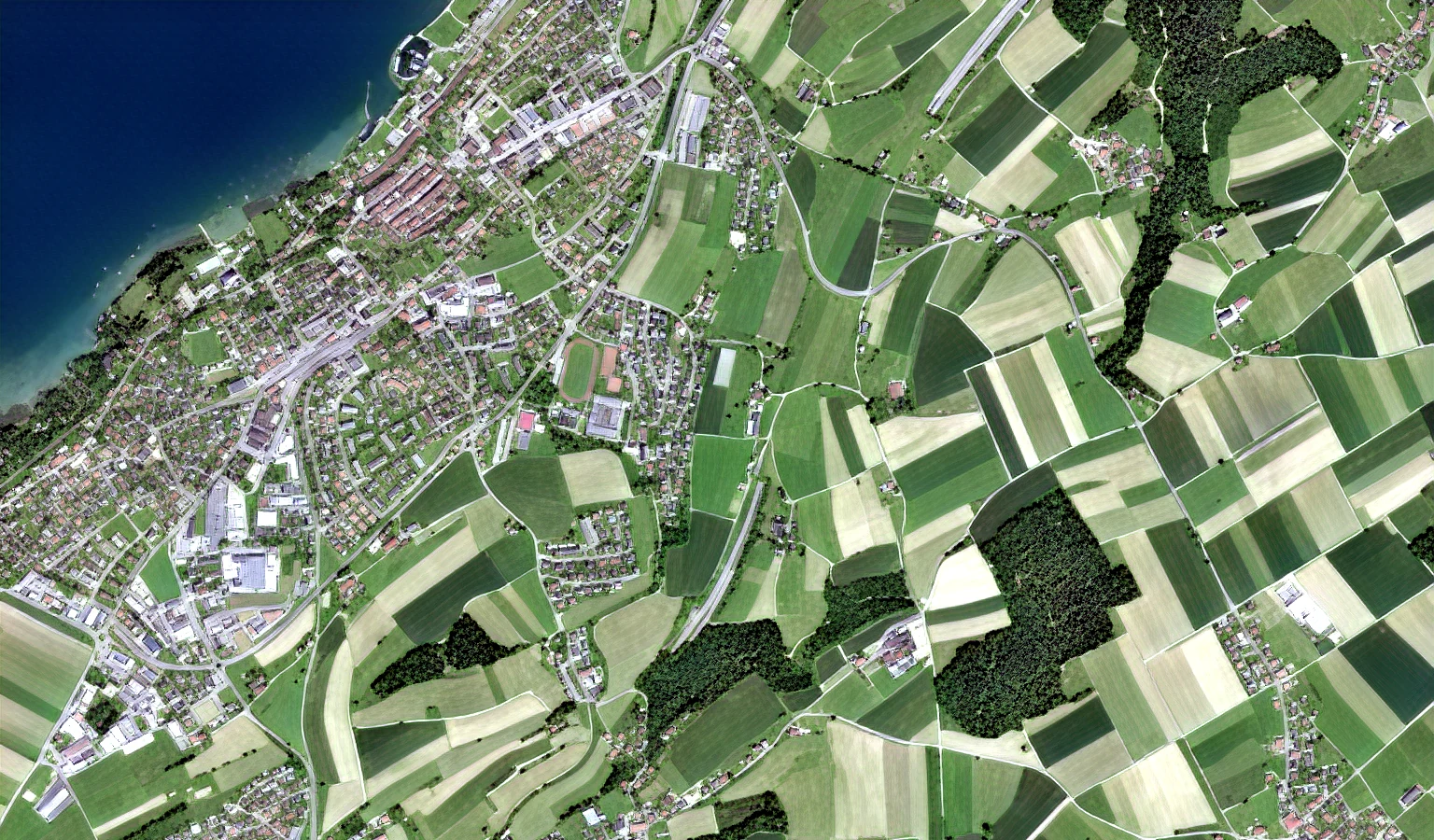
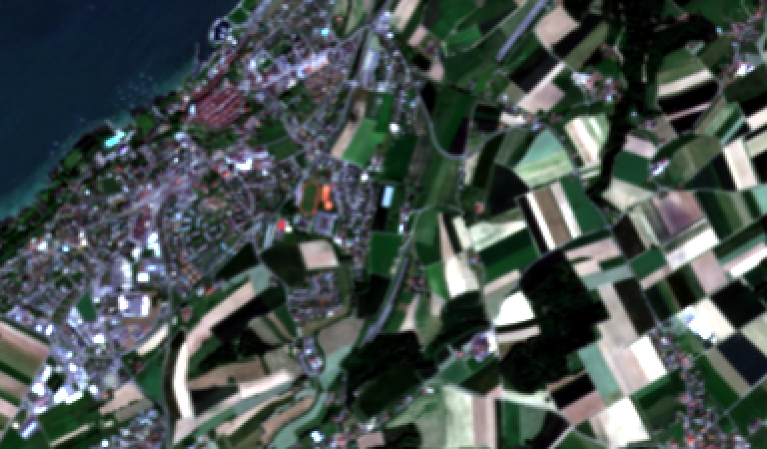
The same ground near Effretikon, three ways.
 Sentinel-2 · 10 m
01
The free satellite image
Sentinel-2 records red, green, blue and near-infrared light at 10 m, and Copernicus makes every image free to use.
 S2DSR · 2.5 m
02
Super-resolved by a neural network
A deep network trained on thousands of Swiss image pairs predicts the 2.5 m image.
 Aerial image · reference
03
Compared with aerial imagery
swisstopo’s SWISSIMAGE of the same ground, reduced to 2.5 m, is the reference every result is scored against.
Explore
14 areas across Switzerland.
Every area is held-out test data: the models never saw it while learning. Open one to compare it in the viewer.
Red, green and blue
8 areas, 3.8 × 3.8 km each · Three models side by side
 MurtenLake Murten shore, town and fields
 EffretikonMotorway junction, town and railway
 SchöftlandVillages and fields in the Suhre valley
 KallnachHagneck Canal and Seeland fields
 FounexLake Geneva shore and motorway
 DüdingenSchiffenen reservoir, villages and fields
 OberägeriLake Ägeri, village and hills
 KirchbergTown in the Thur valley
Red, green, blue and near-infrared
6 areas, 2.6 × 2.6 km each · One model, with the near-infrared band
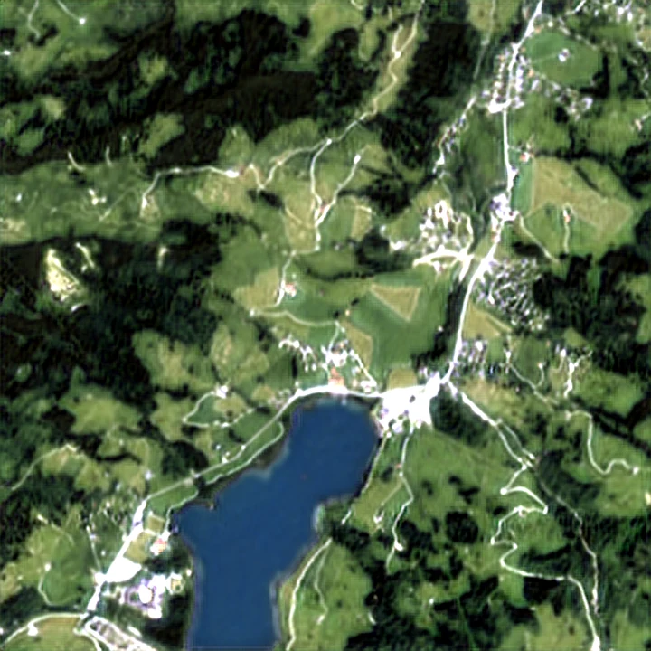
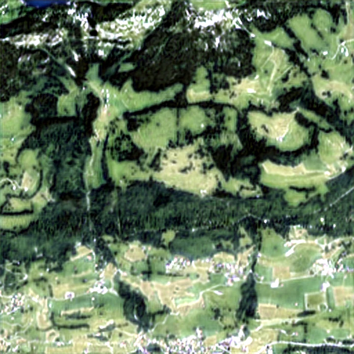
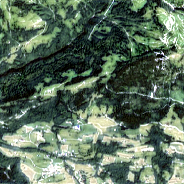
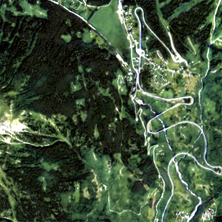
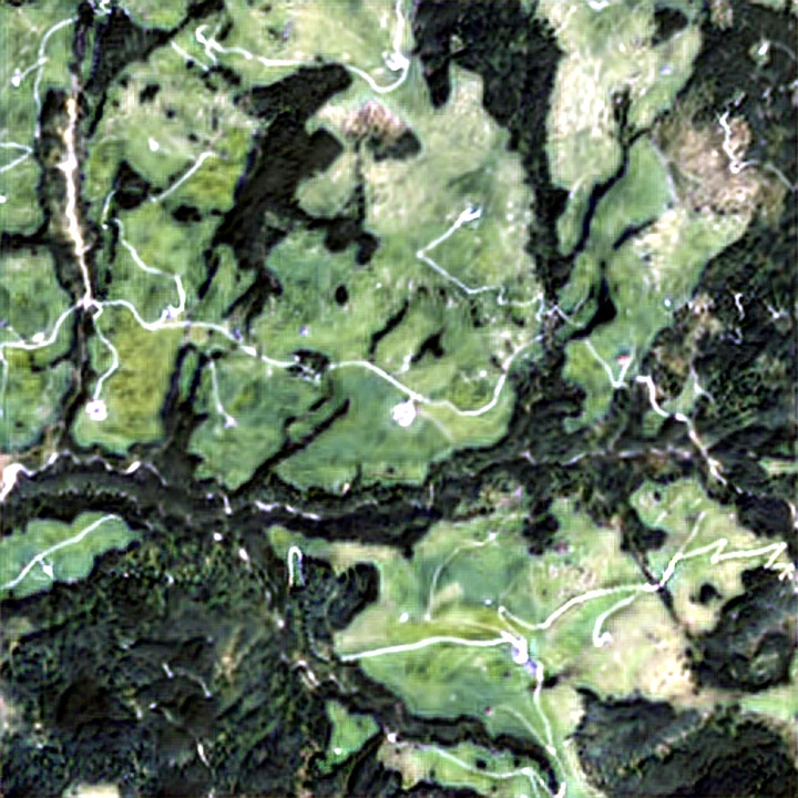
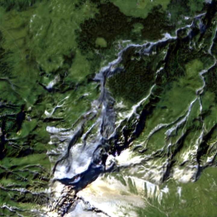
See the difference yourself.
Swipe between Sentinel-2, three deep-learning models and the aerial image, or run a model on your own device.